

Map of the route “31.03.2024 – Geocaching rund um den Burgberg”: 5.080 m, 206 m of climbing and 207 m of descent, elevation between 542 m and 599 m, time 02:44:04. It is a loop that starts and ends at 48.22684, 10.59393 (latitude, longitude).
Gesamtstrecke: 5080 m
Gesamtanstieg: 206 m
Gesamtabstieg: 207 m
Gesamtzeit: 02:44:04
Gesamtanstieg: 206 m
Gesamtabstieg: 207 m
Gesamtzeit: 02:44:04
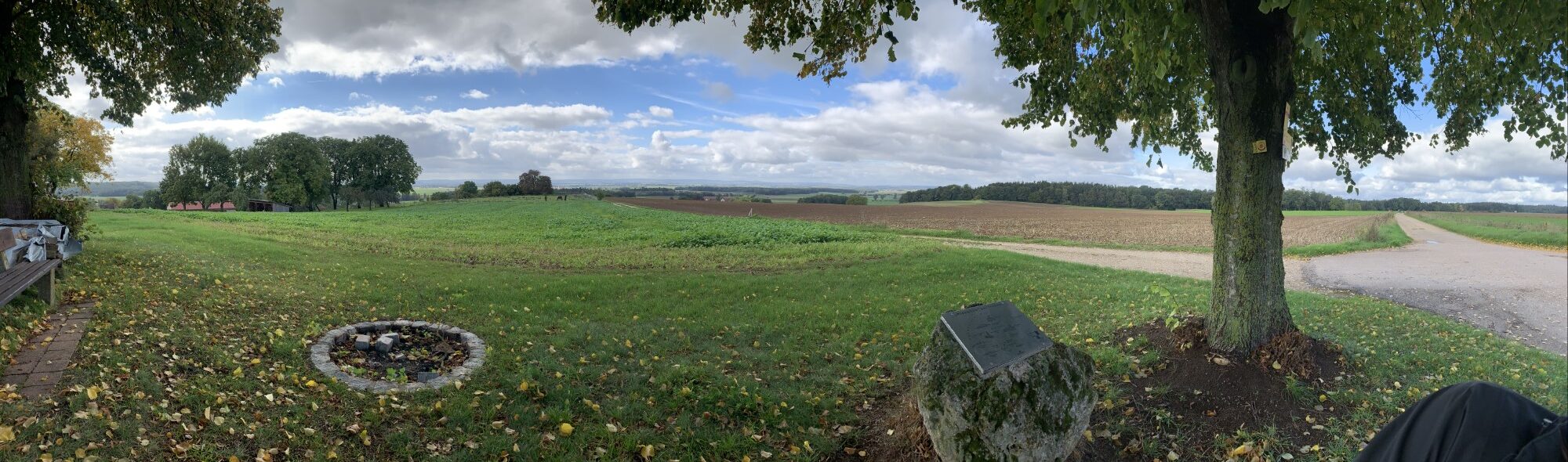
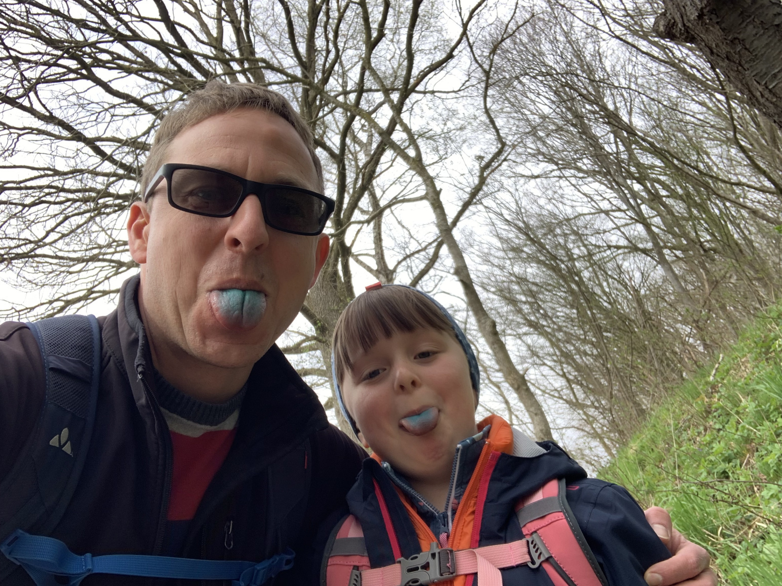
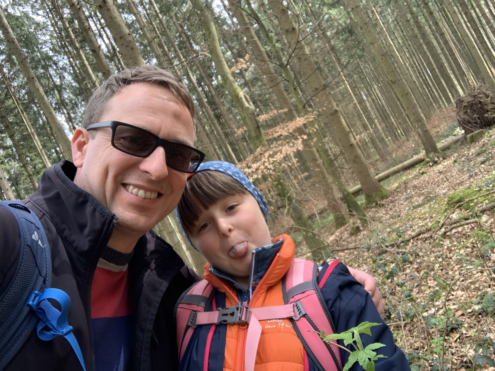
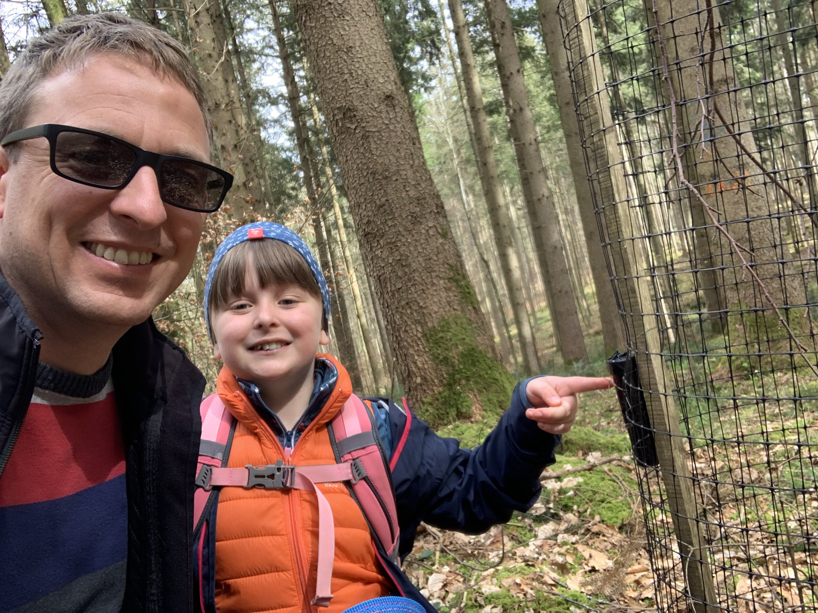
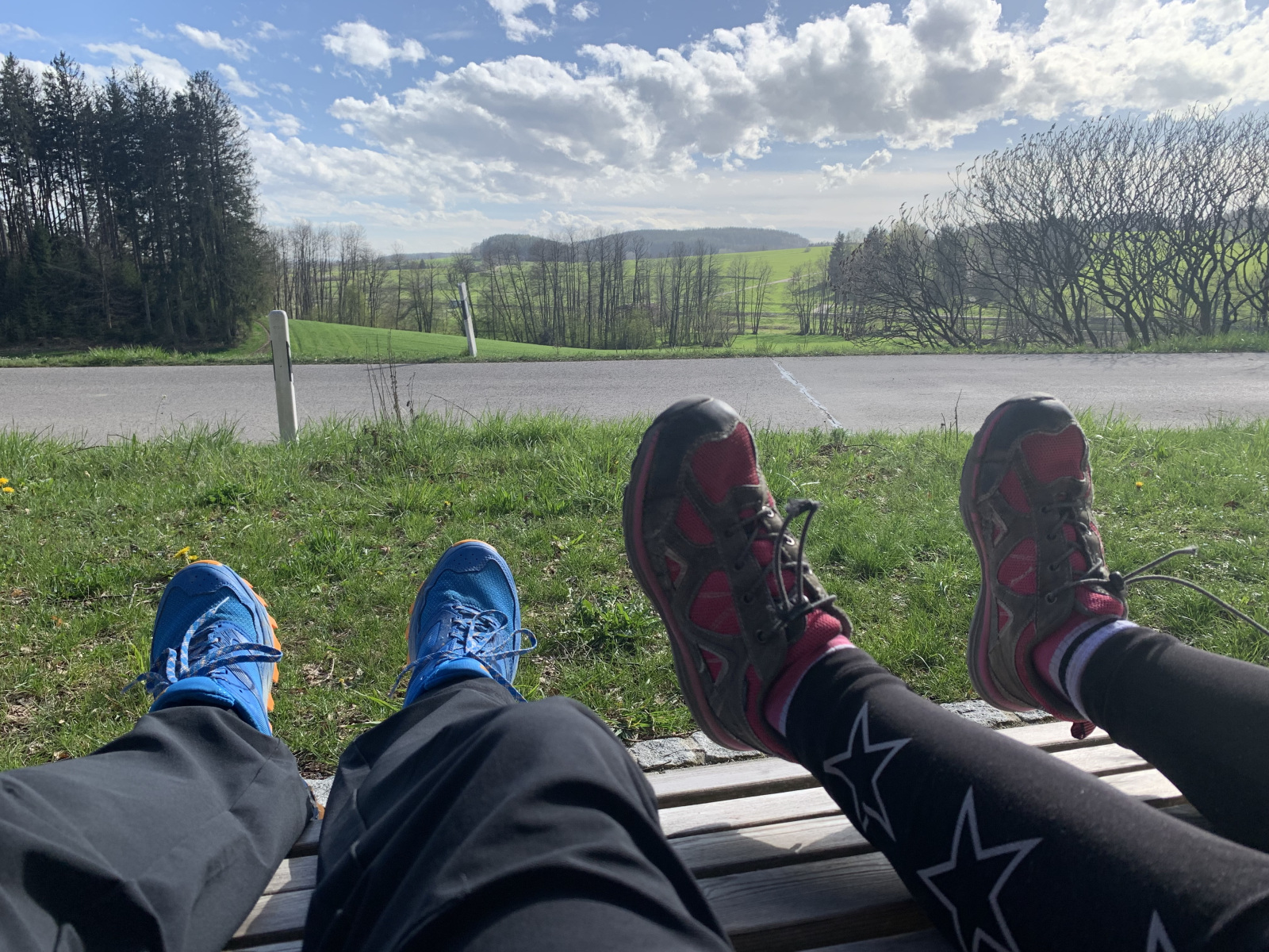
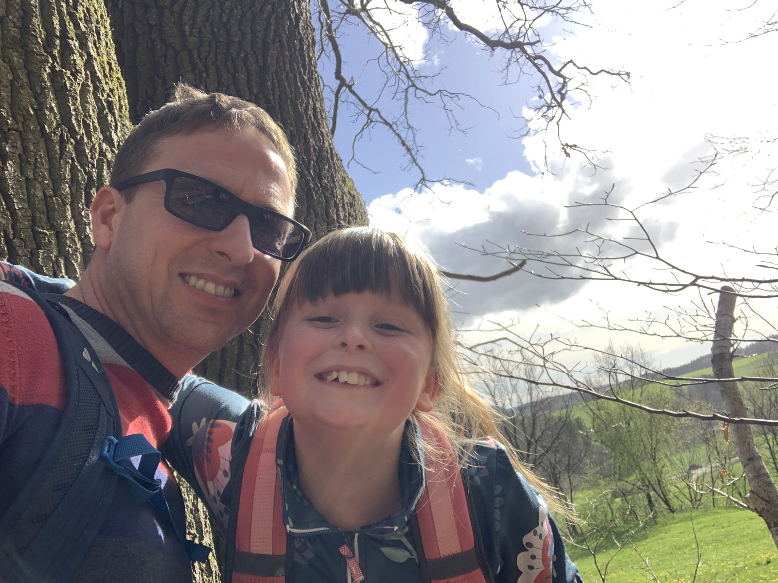
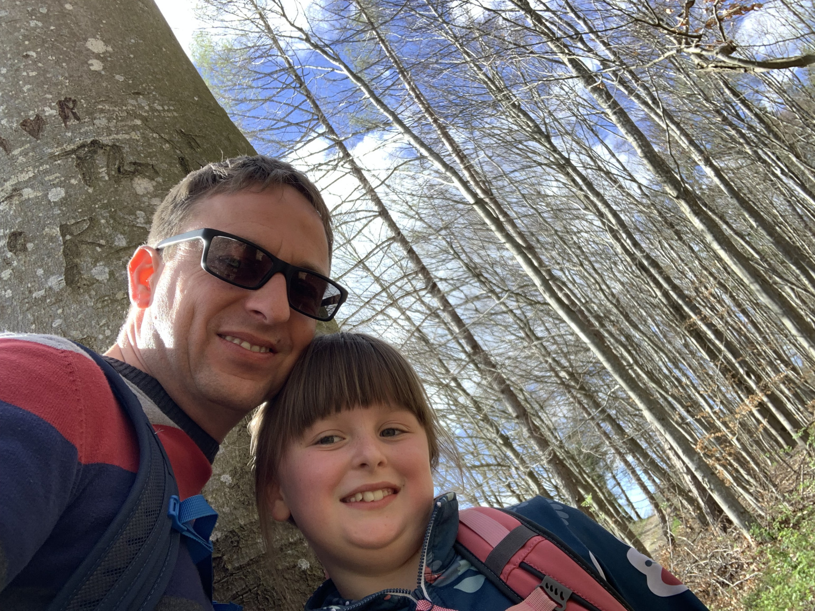
Kleine Runde um den Burgberg bei Walkertshofen am Ostersonntag.
Wir waren erfolgreich und haben alle Geocaches gefunden 🙂